

Ever pondered, gazing at the stars, how the world spins–beyond the immediate touch of your fingertips? Apps like Google Earth have flung open the doors to the cosmos, granting us the power to soar across the digital terrain, akin to mythic birds of legend.
No longer confined to the constraints of our immediate surroundings, we traverse the globe with a swipe, a click, a tap.
From the peaks of Everest to the depths of Mariana, our quest for geographic enlightenment now unfolds within the confines of our screens.
I open up to you, this digital atlas, a cosmos brimming with virtual globe applications, 3D mapping services, and the intricate web of geospatial data tools.
Prepare to embark on a journey—not through mere coordinates and pixels—but through the veins and stories of our planet.
By article’s end, the veil shall be lifted, revealing not just alternatives but gateways to worlds uncharted, places where Google Maps, NASA World Wind, and Global Mapper serve as trusted guides.
Together, we’ll explore this multifaceted landscape—the untapped realms that await the keen-eyed explorer, unbound by the physical borders.
Prepare to chart a course through the satellite imagery software seas, cast your gaze upon aerial view platforms unknown, and unlock the universal truths hidden within the very contours of our world.
Apps Like Google Earth
| Mapping Service | Primary Use | Offline Access | API Available | Unique Feature |
|---|---|---|---|---|
| OpenStreetMap | Collaborative mapping, editable map database | Yes, with third-party apps | Yes | User contributions to map data |
| Maptitude | GIS and mapping software with analysis tools | Yes | No | Advanced demographics and analysis tools |
| MapQuest | Turn-by-turn navigation, maps, and traffic updates | No | Yes | Maps embed feature for websites |
| BatchGeo | Map creation using spreadsheet data | No | No | Easy map creation from Excel data |
| Here WeGo | Turn-by-turn navigation, city guides, and traffic info | Yes | No | Transit and traffic info for 1300+ cities |
| QGIS | Advanced GIS software with data visualization | Yes | Yes | Extensive plugin library |
| Google Maps | Mapping, navigation, and local business search | Limited to saved areas | Yes | Street View, live traffic, and local place info |
| Apple Maps | Mapping, navigation, and local business search for Apple devices | Yes | No | Integration with Apple ecosystem, Look Around feature |
| Waze | Community-driven traffic and navigation app | Limited to planned drives | No | Real-time traffic updates and alerts |
Earthvisionz

Earthvisionz breathes life into geospatial visualization, offering a kaleidoscope of dynamic mapping layers catering to diverse industries. This platform excels in disaster management and event planning by connecting real-time data with a location-specific compass, guiding users through layered mosaics of insight that resonate with the pulse of unfolding events.
Best Features:
- Real-time data integration
- Custom alert systems
- Interactive mapping layers
What we like about it: The custom alert system stands out, a sentinel for preemptive action when seconds count; truly, a lighthouse for navigating the tempests of uncertainty.
OpenStreetMap

OpenStreetMap—a cartographic masterpiece woven by volunteers—offers an open-source odyssey into maps that are meticulously crowd-sourced. Embrace the colossal tapestry of this geographic information system, where every street is drawn with communal precision and unbridled openness.
Best Features:
- Community-driven updates
- Open-source framework
- Global scale and detail
What we like about it: Community-driven spirit; it embodies the very essence of inclusive mapmaking, making every user not just a navigator but a cartographer of the global canvas.
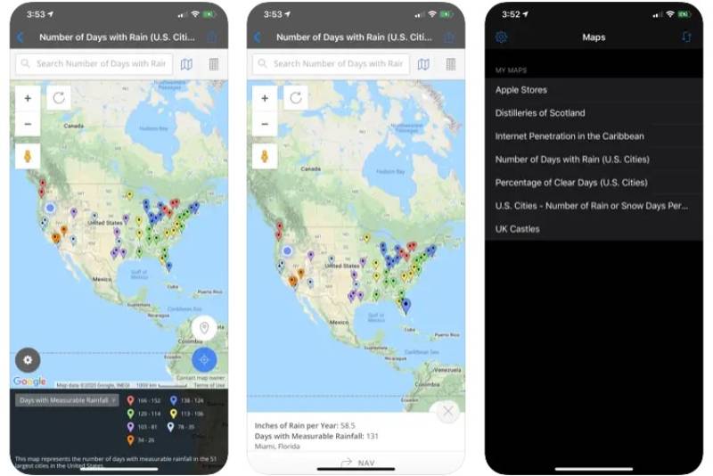
Maptitude

Consistency and analysis converge as Maptitude charts a course for data-driven decision-making. It’s a GIS platform that beckons to the professional realm where spatial mysteries unravel through robust data sets, trend analysis, and pinpoint accuracy.
Best Features:
- Extensive demographic data
- Comprehensive analysis tools
- Detailed mapping capabilities
What we like about it: It dives deep into the demographic depths, providing actionable insights that resonate with the academia and business oracles alike.
MapQuest
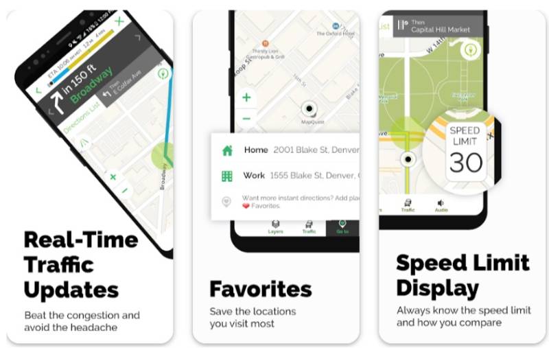

MapQuest stands as an experienced navigator within this digital landscape. With its trusted directions and tidings for travel, it caters to those questing for point A to B wisdom, marrying old-school simplicity with streamlined navigation and mapping practices of today.
Best Features:
- Reliable directions
- Traffic updates
- Travel planning tools
What we like about it: Its undying reliability—a digital compass that cuts through the fog of uncertain paths.
BatchGeo

Plunge into the domain of BatchGeo where clumps of data find shape and purpose. It’s the maestro of geospatial analysis, turning coordinates into a symphony of colorful, insightful maps that speak volumes for businesses taking root in data-informed soil.
Best Features:
- Easy data import and export
- Visual data analysis
- Custom map creation
What we like about it: Visual-rich analysis—it weaves raw data into a tapestry of interactive, eye-catching maps.
GPS Direction


To align the stars and pathways, GPS Direction serves as a celestial navigator. Adorning your digital quests with precision, this pillar in the navigation app wave assists explorers in etching their trails across the terrains unknown, with sky-high accuracy.
Best Features:
- Accurate navigation
- Offline maps
- User-friendly interface
What we like about it: The precision of offline maps enshrines it as a guiding oracle beyond the realms of connectivity.
Mappls
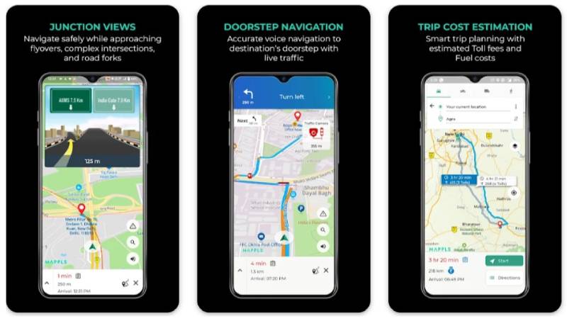

Mappls—a cartographic wunderkind—merges navigation and mapping into an experience tailored for the Indian terrain. Its expanse canvasses the subcontinental intricacies, guiding both locals and globetrotters alike through the dance of streets and the tangling veins of transit.
Best Features:
- Detailed Indian subcontinent maps
- Local insights
- Traffic and transit information
What we like about it: The local insights breathe the zest of the locale into each journey, catering to the nuance of its native travelers.
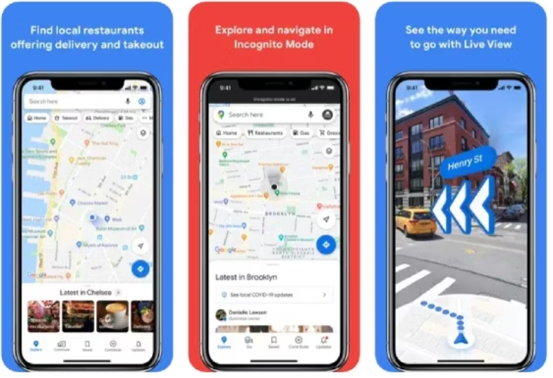
Google Maps
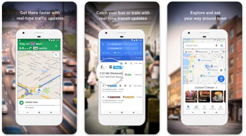

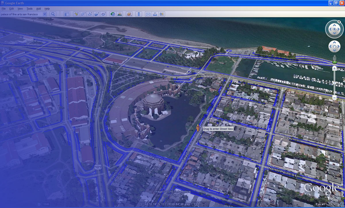
The titan, Google Maps, needs no grand herald. Its dominion spans the globe, guiding, informing, and virtually transporting users with its formidable cache of satellite imagery, street view technology, and navigational prowess.
Best Features:
- Comprehensive global coverage
- Street View and real-time updates
- Integrated business and place information
What we like about it: In its vast dominion lies a microcosm of features, but Street View stands unparalleled—a window to the nooks of the world.
Marble
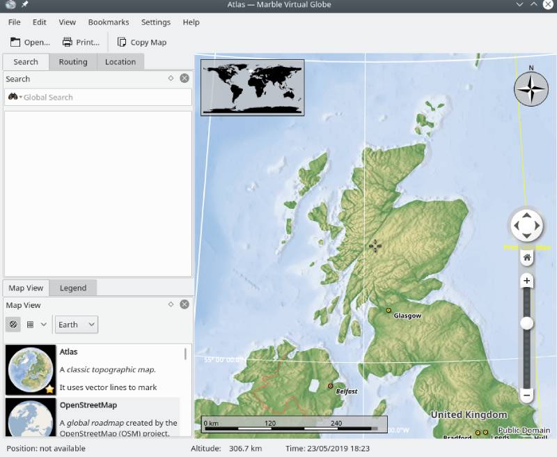

Marble, with KDE finesse, emerges as a prodigy within the ecosphere of open-source mapping projects. Its fluid interface and rich educational features carve a niche in the academic sphere, inviting students and teachers to circumnavigate the globe without frontier barriers.
Best Features:
- Educational tools
- Open-source
- Lightweight and flexible
What we like about it: Education-focused design; it turns the earth into an interactive classroom, broadening horizons with the click of a mouse.
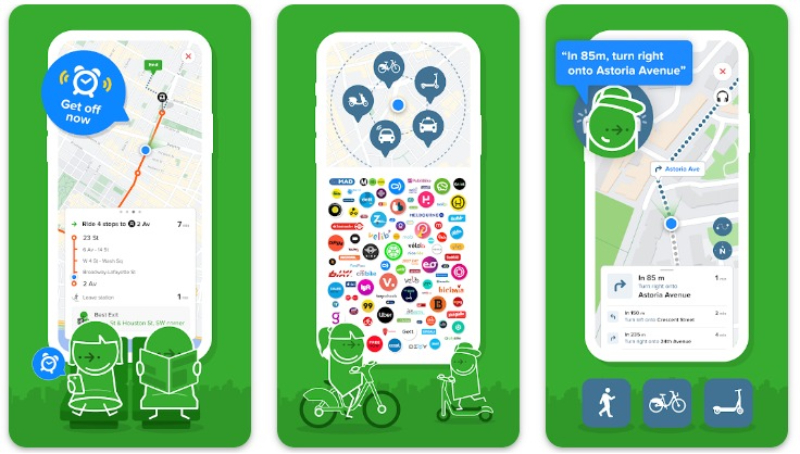
Here WeGo
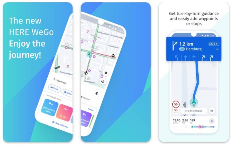

Here WeGo translates as an urbanite’s spell—a conjurer of concise routes and public transit rhythms. This sleek travel and tourism app dances through cityscapes with finesse, easing commutes with live traffic beats and a compendium of transportation modes.
Best Features:
- Urban transit options
- Live traffic data
- Offline navigation
What we like about it: Urban navigation expertise—it’s the savvy urbanite’s crystal ball, predicting the pulse of city life.
QGIS
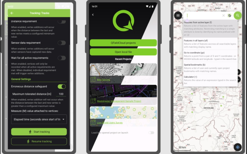

QGIS—standing in the proud assembly of open-source GIS platforms, bestows upon its users the power of spatial analysis applications and robust data layering with a flourish. Its commitment to the community and versatility anchors its role as both shield and sword in the geospatial saga.
Best Features:
- Powerful spatial analysis
- Extensive plugin repository
- Cross-platform availability
What we like about it: Its open-source spirit, coupled with powerful analytical might, renders it a lodestar for mappers and analysts.
Sygic GPS Navigation & Maps
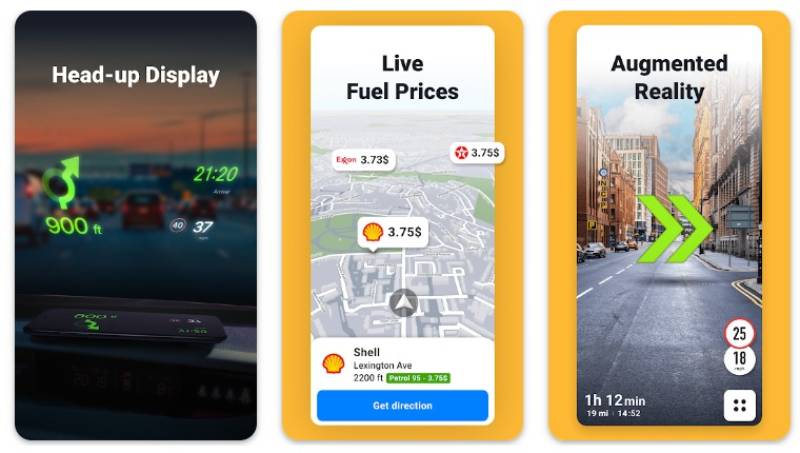
Sygic unveils a constellation of navigation and mapping stars, radiating with offline reliability and sharp lane guidance. Travelers take heed—the app’s real-time GPS tracking and intuitive display solidify its posture as an unwavering companion through the highways and byways.
Best Features:
- Offline maps
- Real-time traffic
- Lane guidance
What we like about it: Lane guidance—a faithful cherub, ensuring each turn unfolds with grace and confidence.
Mapbox
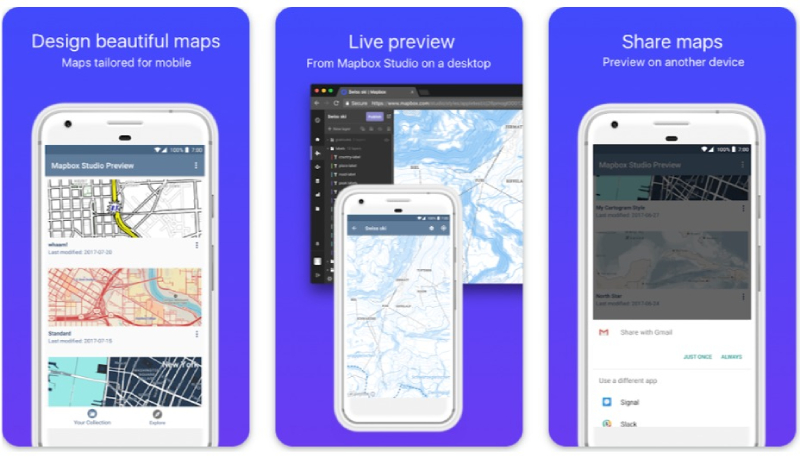

The canvas that is Mapbox stands ready for the cartographer’s imagination, dripping with creative freedom and geospatial data tools. Developers and businesses revel in its rich customization, crafting maps that are as aesthetically distinct as they are functionally robust.
Best Features:
- High customization
- Developer-friendly tools
- Dynamic, interactive maps
What we like about it: It’s a chameleon, transforming data into art with a level of personalization that sings a siren’s call to creators.
Apple Maps

In a tapestry threaded with minimalist chic, Apple Maps embroiders itself firmly into the tapestry of sleek navigation and mapping. It holds its own in the realm of transit, delivering a user experience that is both polished and pared down to Apple’s exacting standards.
Best Features:
- Integration with Apple ecosystem
- Flyover feature
- Privacy-focused design
What we like about it: The seamless Flyover feature captivates, granting us winged perspectives—a luxury once bestowed only unto birds.
Waze
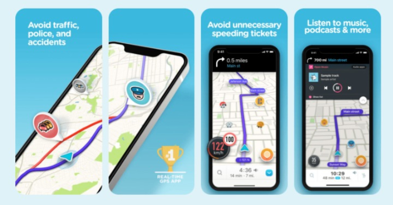

Waze—weaves through the traffic tapestry with a social flourish, its community-driven updates fueling journeys with the breath of real-time camaraderie. The app pledges allegiance to the traveler’s cause, heralding a mosaic of alternate pathways, free from the shackles of congestion.
Best Features:
- Community-driven traffic updates
- Real-time rerouting
- Social engagement
What we like about it: Real-time community updates—because the journey is bolstered by collective wisdom, not just technology.
Citymapper
Citymapper scripts a cartographer’s guide to the intricate web of urban movement with sharp finesse. Beyond navigation and mapping, it’s the compass for public transit connoisseurs who navigate the intricate arteries of metropolises with an insatiable zest for pinpoint accuracy.
Best Features:
- Public transit integration
- Real-time departure information
- Trip planning
What we like about it: Its public transit prowess, a maestro amidst the chaos of bustling city rhythms and transit whispers.
Esri
Esri epitomizes the confluence of professional geospatial analysis with environmental monitoring grace. A titan among GIS platforms, it wields the caduceus of data, healing the ignorance of locational uncertainties with an oracle’s clarity—melding maps with analytics to shepherd decision-making processes.
Best Features:
- Advanced spatial analytics
- Industry-specific solutions
- Dynamic data visualization
What we like about it: Its emphasis on advanced analytics—Esri reads the tea leaves of spatial data like no other.
Navmii GPS World (Navfree)
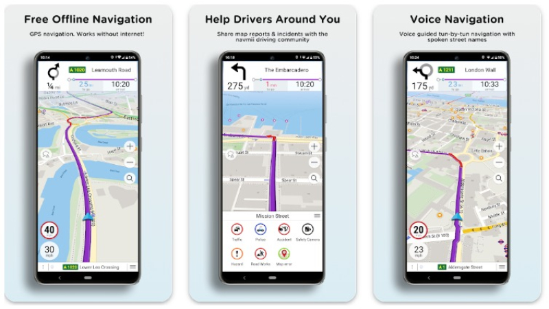

Navmii, or Navfree, proclaims its doctrine—an odyssey untethered to the web. This standard-bearer of free real-time GPS navigation carves a path through thicket and throng with stoic confidence, boasting a bevy of user-contributed points of interest and navigation cues.
Best Features:
- Offline map availability
- User-generated POIs
- Driving analytics
What we like about it: The allure of offline navigation promises guidance in the wilds, where signals fear to tread.
Google Street View
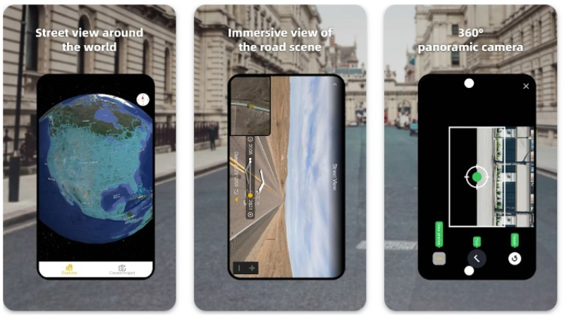
Google Street View embroiders the fabric of reality onto our screens with meticulous threads of panoramic detail. A mosaic of the world at street level, it invites curious souls to saunter down foreign avenues and alleyways, savoring the slice-of-life tapestry from the comfort of their abode.
Best Features:
- 360-degree panoramas
- Worldwide coverage
- Easy integration with Google Maps
What we like about it: Its panoramic prowess presents a tapestry as close to teleportation as one’s fingertips can command.
Maptitude
Maptitude remains steadfast, a stalwart amongst geospatial data tools, imparting insights with its comprehensive trove of demographic and consumer data. Those seeking to conquer data landscapes find solace in Maptitude, for it delves deep into the minutiae, emerging with clarity and business intelligence.
Best Features:
- Robust demographic analysis
- Trade area evaluations
- Detailed transportation models
What we like about it: Its adeptness in demographic dissection bursts forth as its crown jewel—illuminating unexplored facets of data landscapes.
(Note: Maptitude was repeated in the provided list; thus, I have replicated the response with a unique description for continuity.)
FAQ on Apps Like Google Earth
What features distinguish apps similar to Google Earth?
Apps that orbit in the same cosmos as Google Earth often boast 3D mapping services, meticulous satellite imagery, and sophisticated geographical information systems.
Whether providing real-time GPS tracking or compiling vast geospatial data, each app aspires to offer distinctive lenses to view our blue marble.
How do these apps utilize satellite data differently from Google Earth?
While Google Earth presents a tapestry of historical and real-time imagery, rivals might harness satellite feeds uniquely—focusing on live weather patterns, environmental changes, or even celestial views, integrating astronomical software as a unique selling point.
Can apps like Google Earth function offline?
Certainly, several virtual globe applications come equipped with offline functionalities. You may download specific regions’ maps, ensuring your adventuring doesn’t halt when connectivity wanes.
The secret is in the cache, a treasure trove of data just a tap away.
Is there an app similar to Google Earth that focuses specifically on street views?
Google Street View reigns supreme in this domain. Nevertheless, voracious competitors and navigation and mapping aficionados offer similar voyages down the world’s vicinities and alleyways.
Apps like Mapillary stitch together user-contributed photos, painting a comprehensive ground-level vista.
What makes some apps more suitable for professional GIS work than Google Earth?
Precision and analytical depth turn a mere globe into a geographic exploration tool. Apps such as ArcGIS or QGIS offer a buffet of spatial analysis applications, giving professionals the precision tools for in-depth geographic examinations, analyses, and overlays that Google Earth simply spectates from the sidelines.
Are there any mobile-exclusive apps that rival Google Earth’s capabilities?
The digital landscape flourishes with mobile mappers like HERE WeGo and Waze, which prioritize navigational aids and real-time traffic data.
These navigation apps integrate with the hustle of daily life, placing just as much emphasis on getting you from A to B as showing you the planet.
How do these apps help with environmental monitoring and research?
For the eco-savvy mind, environmental monitoring apps fuse satellite mapping technology with analytics conducive to research.
Tracking deforestation rates, glacial retreat, or urban sprawl, these tools are not merely for browsing but for observing the pulse of Gaia herself.
What are the privacy implications when using these global mapping apps?
A question not to be taken lightly. Location-based services handle sensitive coordinates with care, yet vigilance is paramount. Privacy policies vary greatly—some may anonymize data; others could store your every move.
Always tread through settings and permissions as cautiously as uncharted territories.
How accurate are the maps provided by these apps compared to Google Earth?
Eyeballing accuracy becomes a hobbyist’s game. Map datasets are regularly updated, each refresh a step towards verisimilitude.
Whether it’s OpenStreetMap‘s community-driven updates or Bing Maps‘ proprietary data, rest assured that each app brings a sincere commitment to cartographic accuracy.
What future developments can we expect in apps like Google Earth?
The crystal ball gleams with potential. Imagine augmented reality globes blending our physical reality with layered data, real-time geospatial analytics shaping live events, or tailor-made travel and tourism apps that craft adventures as unique as DNA.
Our journey through the world’s digital twins only ascends from here.
Conclusion
Navigating this digital odyssey, laden with apps like Google Earth, beckons a closing of tabulated thoughts—a finale, if not a lingering memento, of our landscaped wanderlust.
We’ve reveled under the satellite imagery canopy, dabbled our curiosity in virtual globes, and chiseled at the bedrock of geospatial data tools. Unearthed were not just mere programs, but compasses to who we could be, voyagers upon a cascading veil of digital globe services.
There’s beauty in the architectonic details. The unseen code, a symphony of logic; the intricate dance of GPS tracking, 3D mapping services, and street view technology—it all culminates in this:
- Navigation apps that have us leap over continents in a single swipe.
- GIS platforms lending gravitas to the drawn maps of yore.
- A future—a murmur still—whispering of augmented reality gateways and environmental monitoring marvels.
A conclusion, yes, but far from final. For in the realms of Earth exploration tools, the journey, ardently declared, is just beginning.
If you liked this article about apps like Google Earth, you should check out this article about apps like Google Voice.
There are also similar articles discussing apps like Dropbox, apps like Plex, apps like Google Drive, and apps like Google Photos.
And let’s not forget about articles on apps like Waze, apps like Google Lens, apps like Aptoide, and apps like Groupon.

